MapTiler Satellite
Up-to-date, high-res, seamless imagery for the whole world.
The most beautiful backdrop for your maps and data.
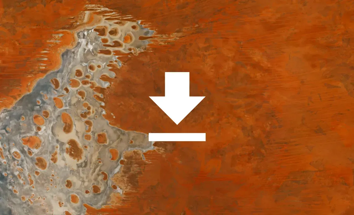
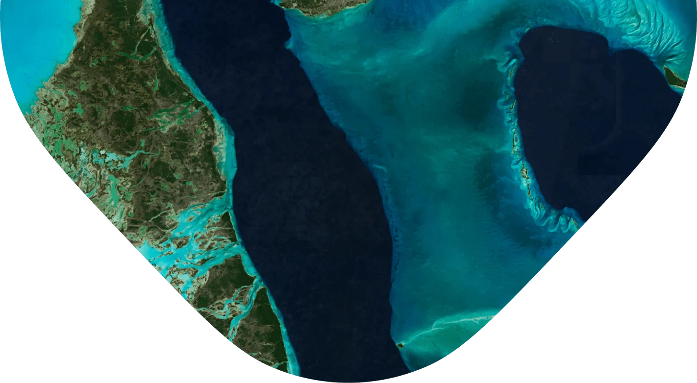
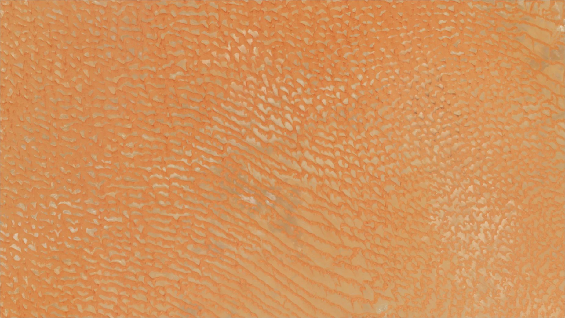
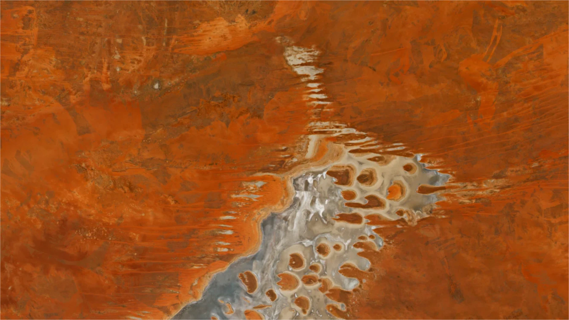
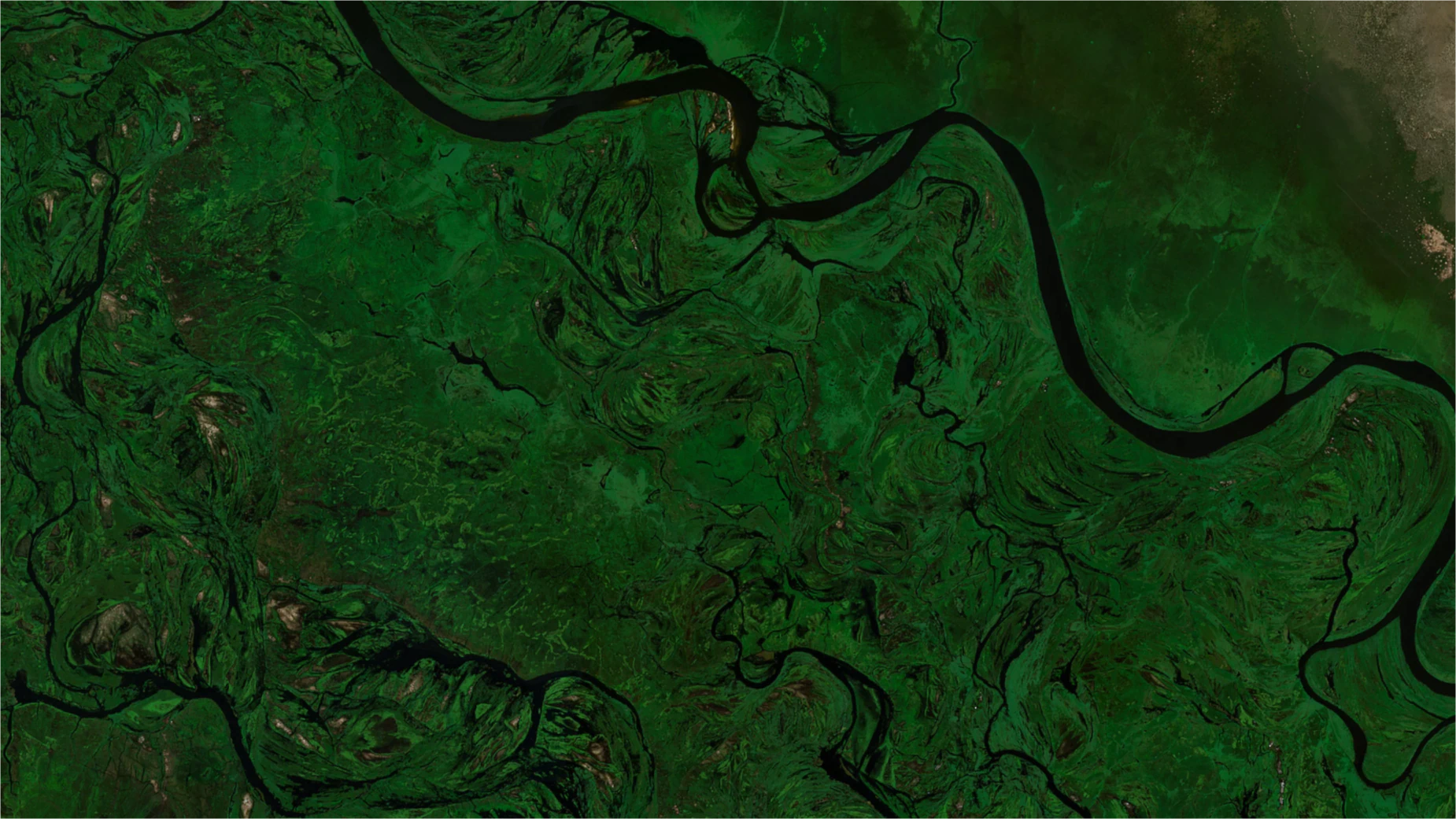
Satellite imagery
We provide a satellite map of the entire world in a 1‑2 meters per pixel resolution thanks to our partnership with Maxar. It complements our cloudless mid-resolution satellite imagery. For economically active areas, we provide even higher resolution via aerial photography.
We balance the tones and carefully stitch millions of images to bring you a seamless map layer with natural colors.
View satellite map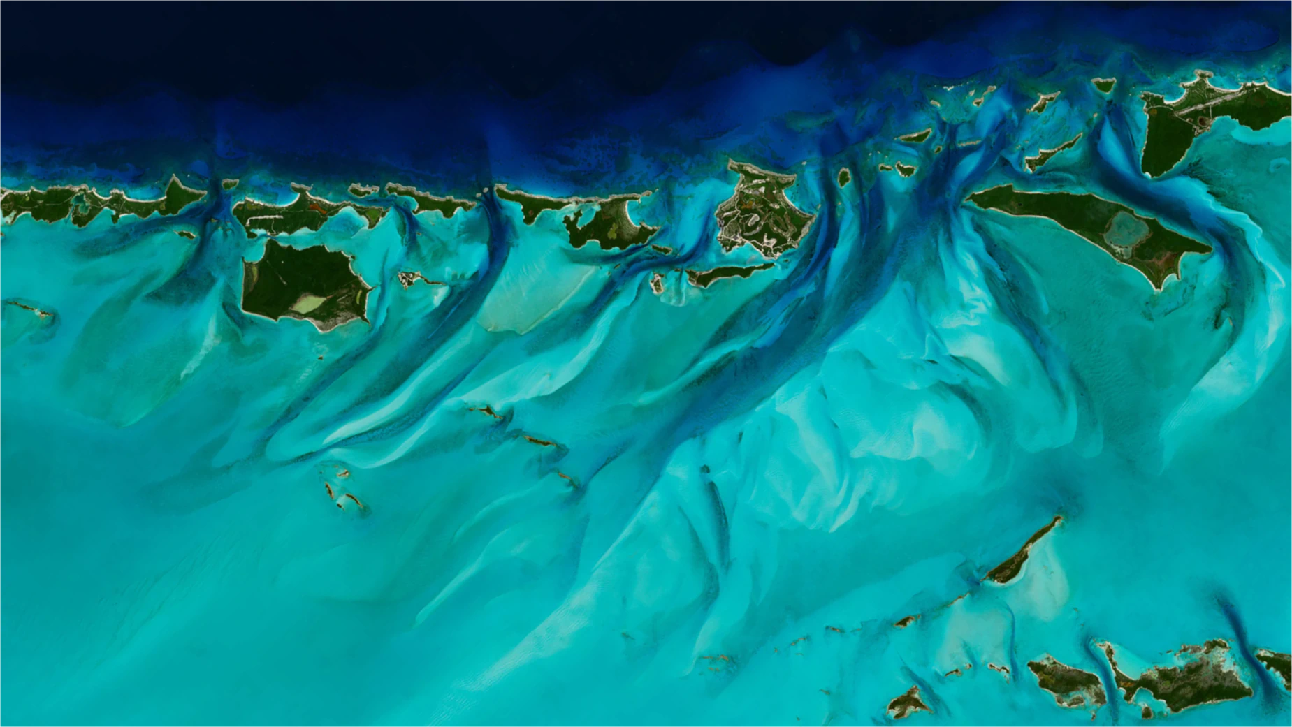

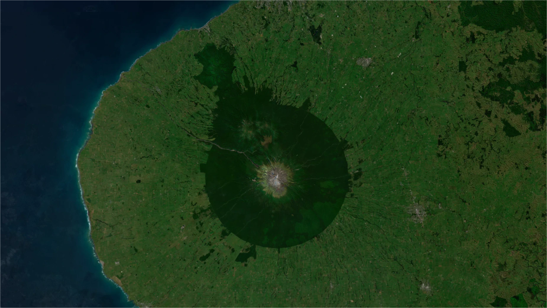
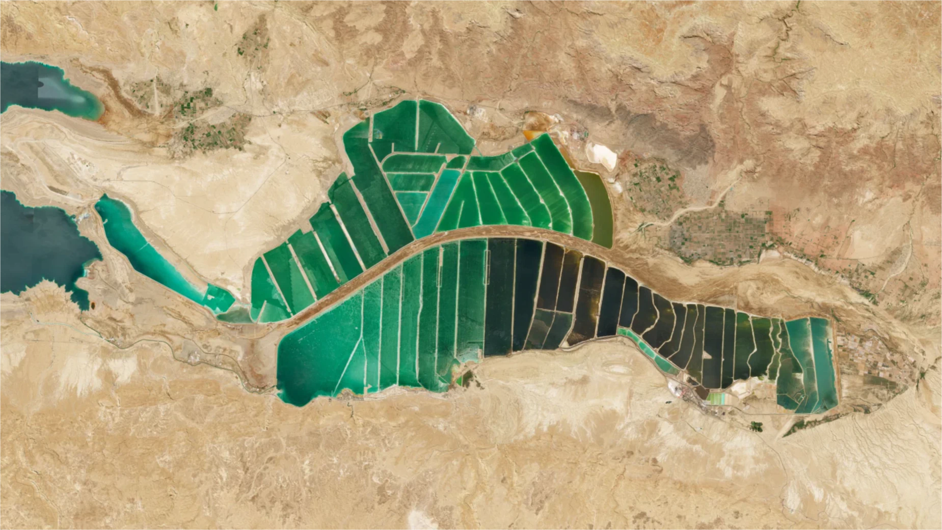
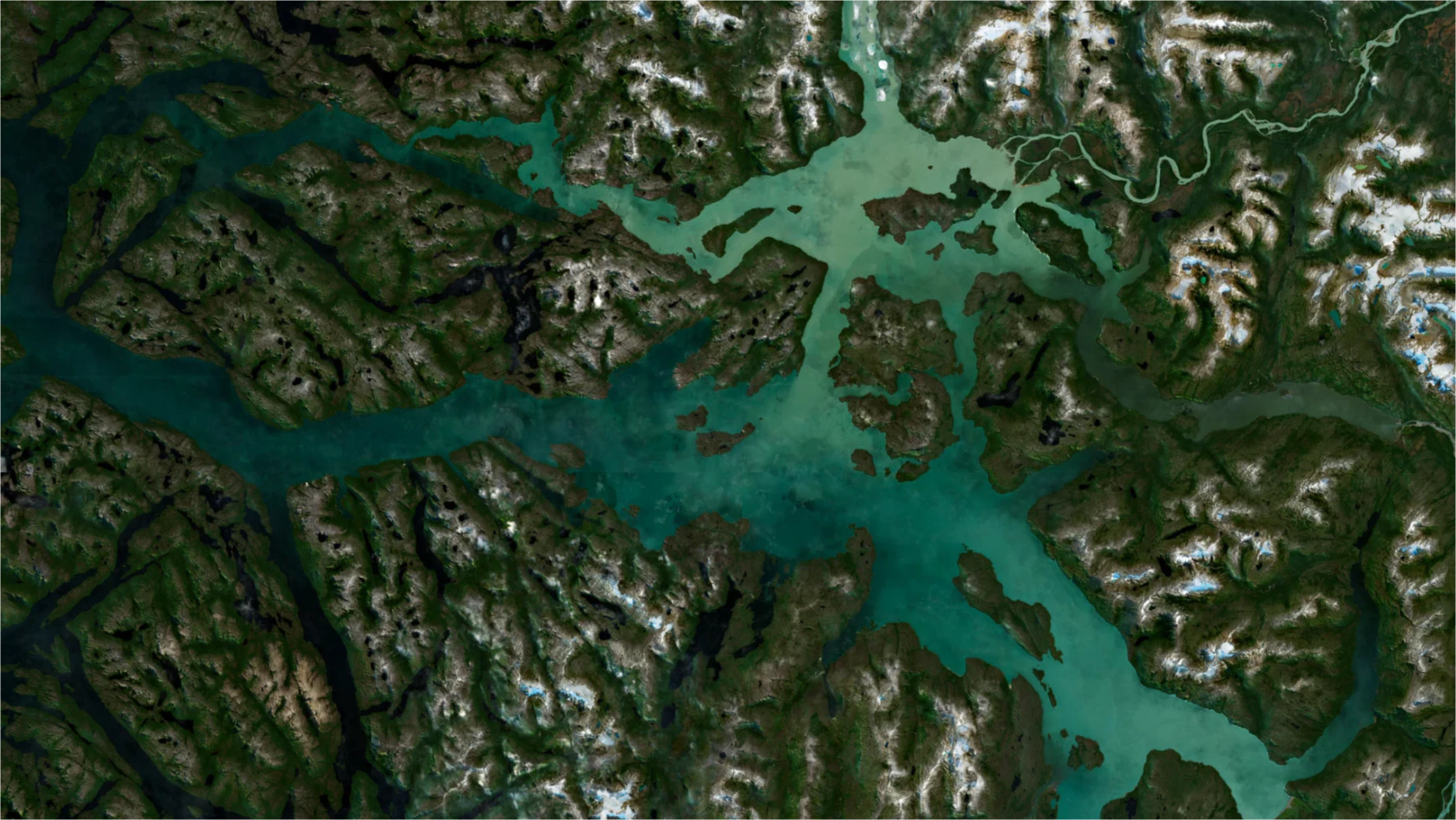
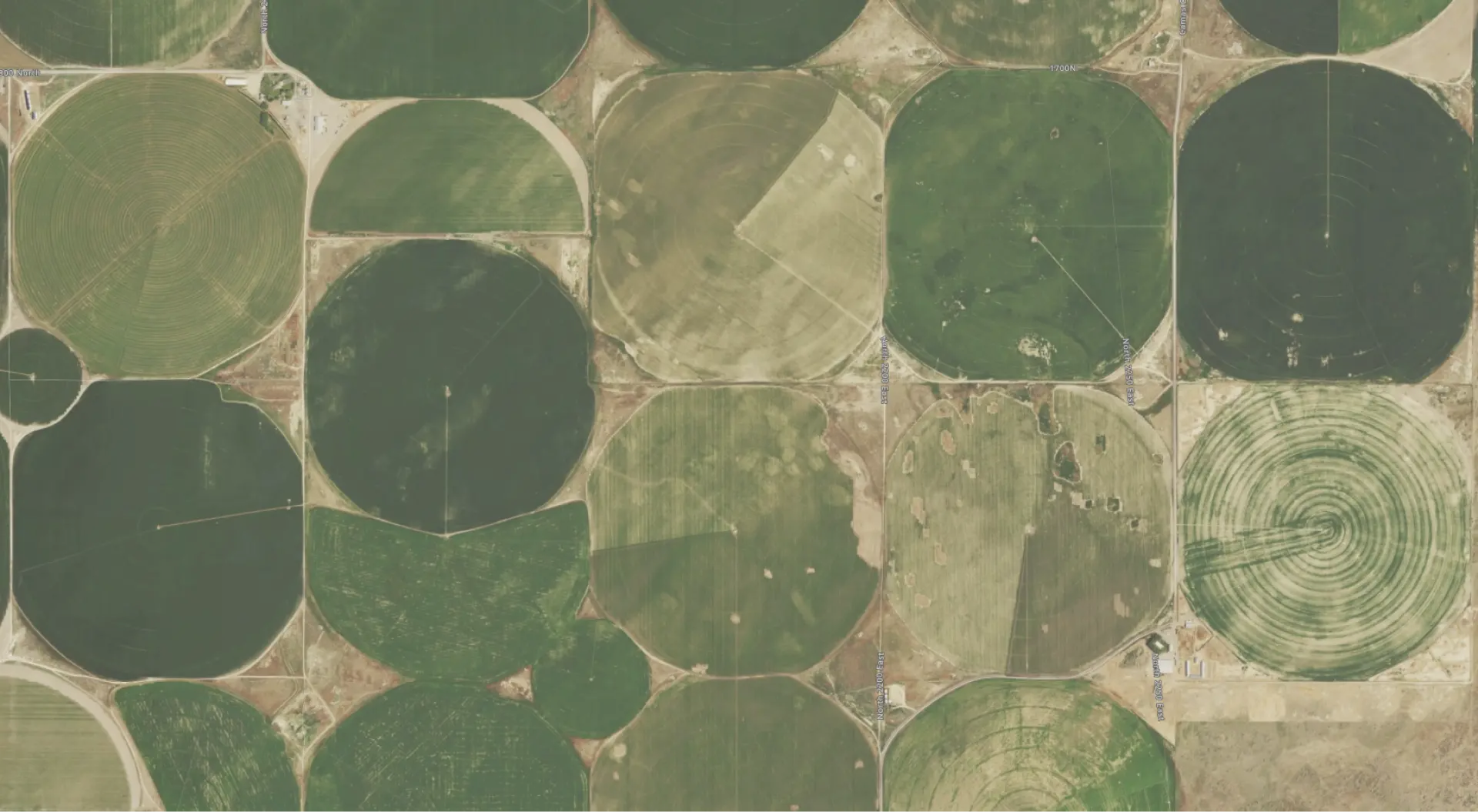
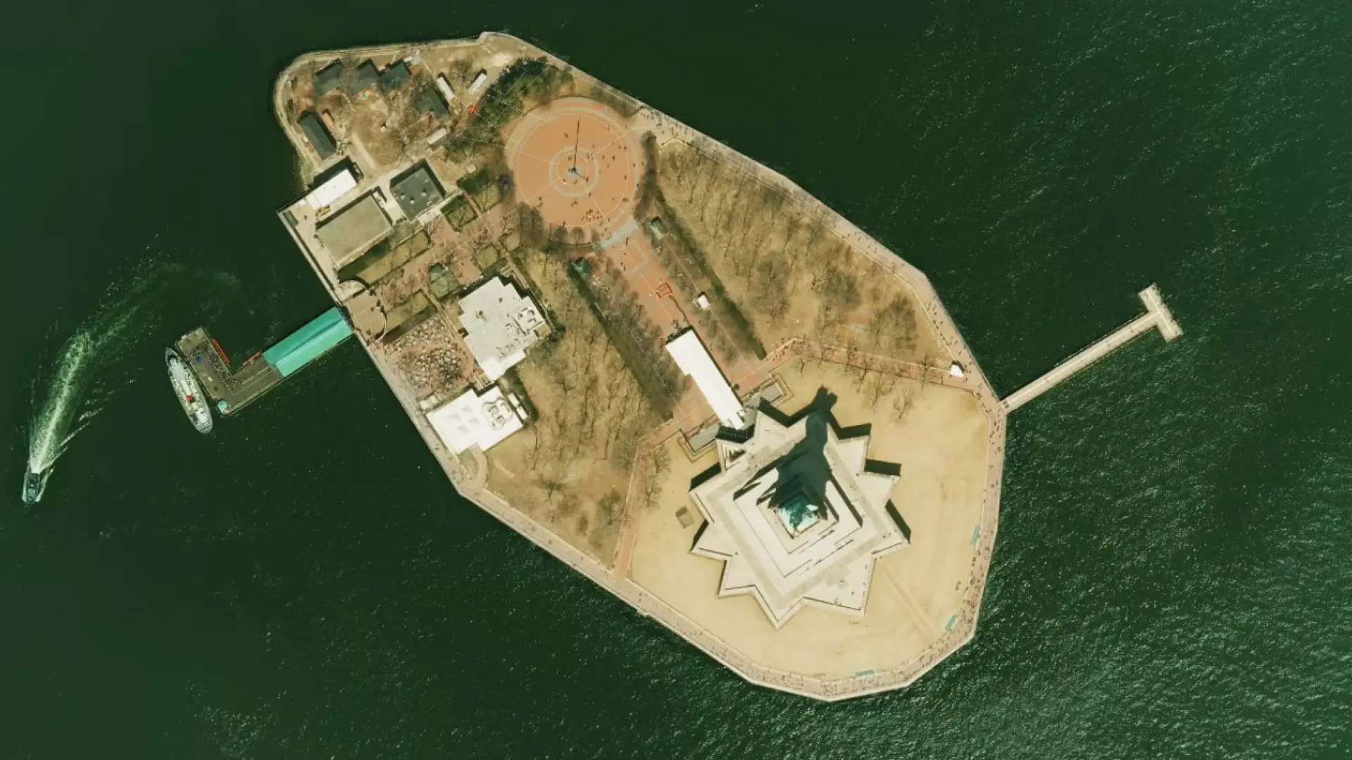
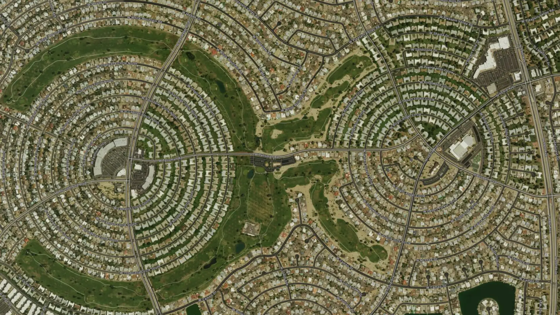
Aerial photography
Aerial photos complement the satellite imagery, providing much more detail when you zoom in.
See the USA, Germany, Switzerland, France, Japan, and many other countries and cities in incredible detail.
USA data from government sources, with resolution of 50 centimeters per pixel and an impressive 8-15 cm per pixel for selected cities.
See it on the map


Satellite & Aerial Maps: Dates and resolutions
World
2021 - 20221-2 m/px
USA
2019 - 202330 cm - 1m/px
New York City
15 cm/px
Washington DC
8 cm/px
Australia
20221 m/px
New South Wales
202250 cm/px
Austria
20221 m/px
Vienna
202215 cm/px
Belgium
2015 - 201825 cm/px
Bosnia and Herzegovina
20221 m/px
Canada
2021 - 20222 m/px
Croatia
20221 m/px
Czech republic
2021 - 202219 cm/px
Denmark
202212.5 cm/px
Estonia
201810 cm/px
Finland
2010-201850 cm/px
France
2020-20230.2 to 1.5 m/px
Corsica
2020-202320 cm/px
Martinique
2020-202320 cm/px
Guadeloupe
2020-202320 cm/px
Saint Martin
2020-202320 cm/px
Germany
20221 m/px
Berlin
202220 cm/px
Brandenburg
202250 cm/px
Brandenburg
202280 cm/px
Cologne
202220 cm/px
Hamburg
202250 cm/px
North Rhine-Westphalia
202220 cm/px
Thuringia
202240 cm/px
Saxony
202220 cm/px
Rheinland-Pfalz
202220 cm/px
Great Britain
20221 m/px
Greece
2021-20222 m/px
Athens
2021-202250 cm/px
Attica
2021-202250 cm/px
Ion Islands
2021-202250 cm/px
Hungary
20221 m/px
Ireland
20221 m/px
Italy
201250 cm/px
Japan
20221 m/px
Kosovo
20221 m/px
Latvia
20221 m/px
Lithuania
20221 m/px
Luxemburg
201825 cm/px
Montenegro
20221 m/px
Netherlands
201825 cm/px
New Zealand
2012-20214-60 cm/px
Norway
20112.5 m/px
Poland
2020 - 202225 cm/px
Portugal
201825 cm/px
Romania
2006-20082.5 m/px
Serbia
20221 m/px
Slovakia
2018-202020 cm/px
Slovenia
20221 m/px
Spain
2018-202150-20 cm/px
Sweden
20221 m/px
Switzerland
201810 cm/px
Solothurn
201820 cm/px
Basel
201820 cm/px
Bern
201810 cm/px
Kanton Zurich
201810 cm/px
Turkey
20221 m/px
Ukraine
20221 m/px
Satellite Tasking
MapTiler offers Tasked High-Resolution Satellite Imagery from our imagery partner, Satellogic:
- Up to 4 daily revisits for any point of interest
- Sub-meter resolution
- Usable as map tiles in web maps & mobile apps with MapTiler
Use it to improve the imagery basemap in your area of interest, monitor ground activity, or keep track of high-frequency changes.
We have the industry’s most competitively priced package, including MapTiler Engine for processing, and MapTiler Cloud or Server for hosting.
Contact us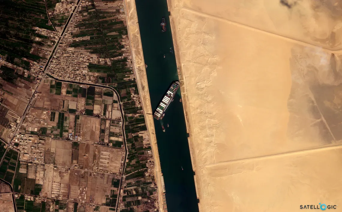
Satellite Maps API for web and mobile apps
Easy-to-use API for developers is available to all users. Integrate into your existing apps or use MapTiler SDK for your new project.
Add imagery layers to your websites, apps, or desktop GIS.
Take advantage of our fast and reliable network of servers in 150 countries on five continents.
try free maps api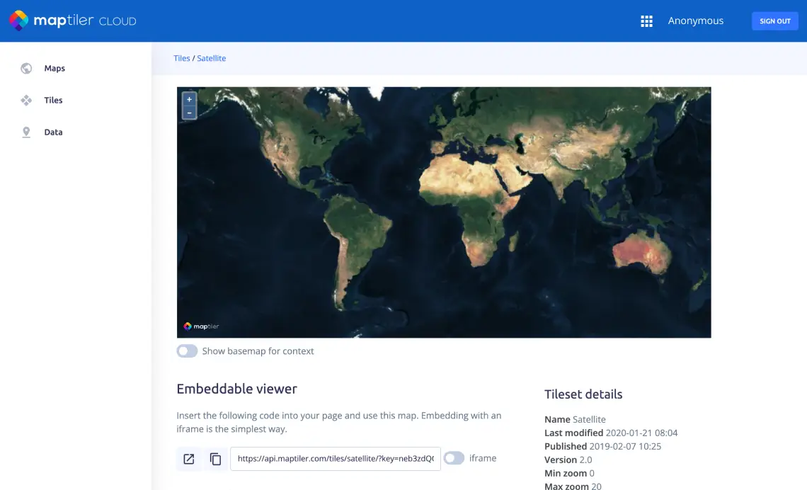
Affordable Satellite & Aerial map for self-hosting
Use satellite and aerial imagery for self-hosted secured applications or in offline deployment.
Download the area of your interest or get the satellite map of the entire world on-premises.
Get free sample of low-res satellite map of the entire world.
Contact us for high-resGet global satellite