Bounds 14.0998, 52.61742, 16.98847, 54.83967
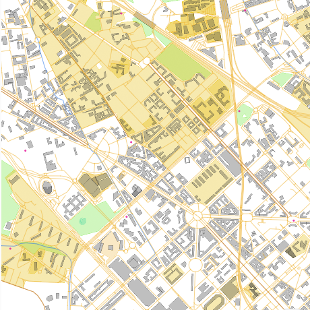
OpenStreetMap vector tiles
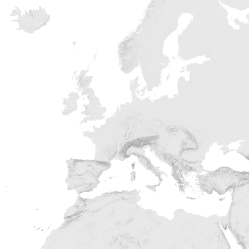
Hillshading raster tiles
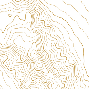
Contour lines vector tiles
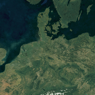
Satellite raster tiles
Satellite Highres raster tiles
The OpenStreetMap vector tiles are made with our open-source software released at OpenMapTiles.org. The raster tiles are rendered with MapTiler Engine.
Check the news and changelog.