Bounds 11.88343, -13.5006, 31.33569, 5.401396
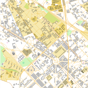
OpenStreetMap vector tiles
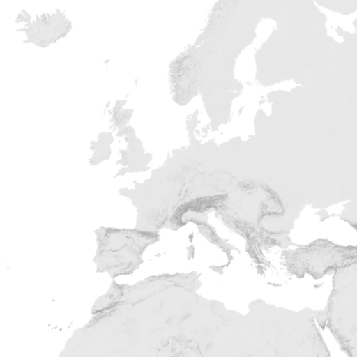
Hillshading raster tiles
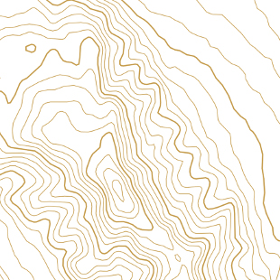
Contour lines vector tiles
Satellite raster tiles
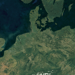
Satellite Highres raster tiles
The OpenStreetMap vector tiles are made with our open-source software released at OpenMapTiles.org. The raster tiles are rendered with MapTiler Engine.
Check the news and changelog.