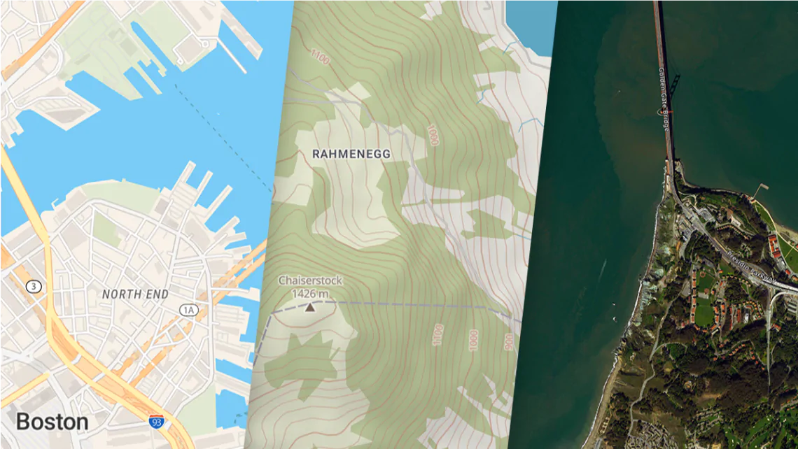
Reduce the size of map tiles and create extracts from MBTiles
Speed up loading your maps, decrease the storage size, and lower bandwidth with TileShrink
Faster map loading
Reduce decoding time by cutting out unnecessary features.

Lower bandwidth
Save data transfer rate by serving smaller map tiles.

Decrease storage size
Use maps on mobile phones and other devices with limited capacity.

Remove unnecessary areas
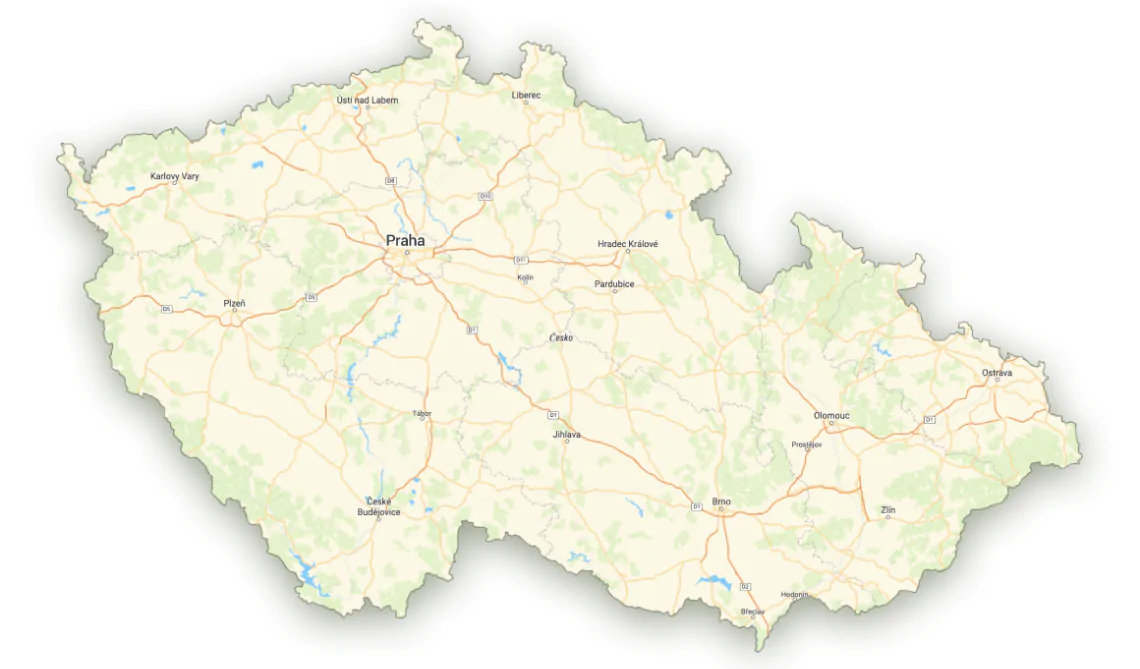
Decide which areas should be displayed from each dataset.
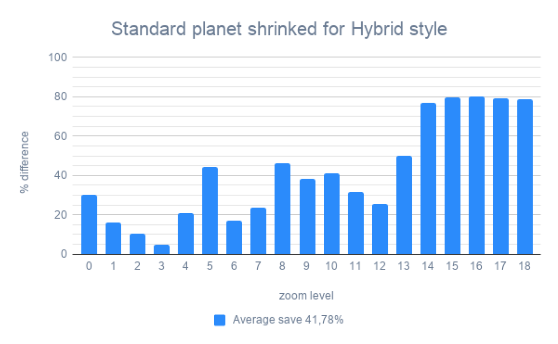
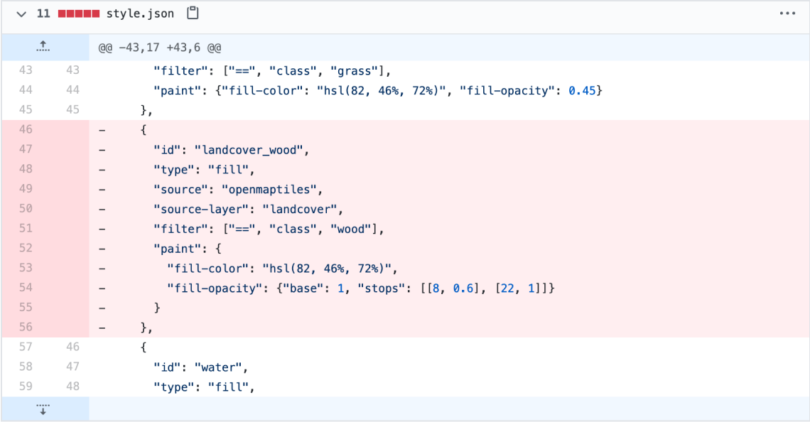
SHRINK: Strip away unused features
Remove unnecessary attributes, features, or languages from vector tiles. Reduce down to 40% of original size. Done automatically for selected map style.
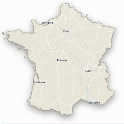
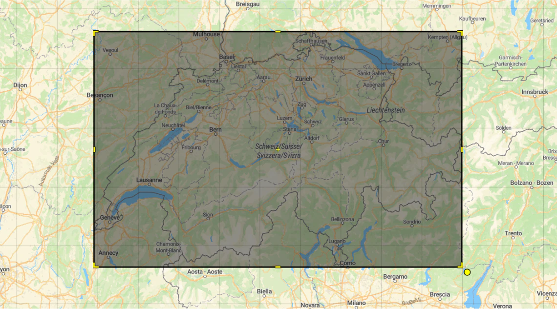
CLIP: Cut out areas or zoom levels
Define area of any shape with GeoJSON and create a new vector tile package containing vector tiles correctly clipped at the border.
EXTRACTS: get an extract defined by a bounding box
Get quickly a subset of features by keeping only vector tiles overlapping specified geographic rectangle (bounding box) defined by min and max of latitude and longitude.
TileShrink 1024 USD
One time purchase of source code. You will get access to a private GitHub repository.
Works with any data, the best match with MapTiler Data.
TileShrink can be used with standard OpenMapTiles schema as well as with your custom vector tile schema as an input. Get street, satellite, and terrain data of the entire planet.
Donwload now