Terrain data for maps
Hillshade, contour lines, and digital elevation models data for your next project. Global coverage blended into seamless terrain.
High-resolution terrain data merged from multiple sources with resolution 30x30 meters.
Terrain RGB for DEM
Use elevation data encoded into the RGB model. Improve your maps with elevation visualizations render dynamically and smoothly on the client.
Use the data to create Digital Elevation Models: 3D representations of elevation data to show Earth's terrain or elevation profiles.
Use via Maps APIDownload data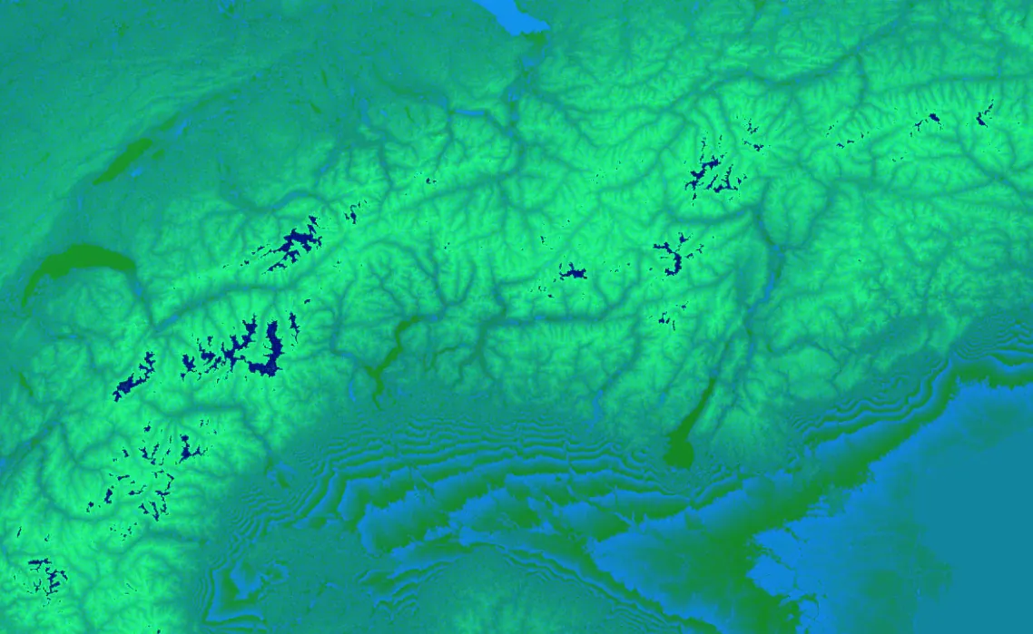
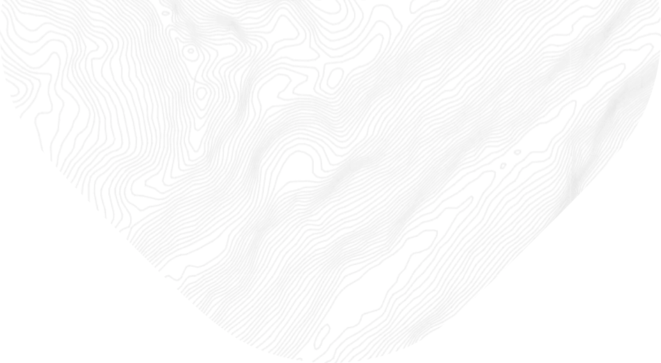
Contour lines
Contour lines connect points on a map with the same elevation and are used to visualize the shape of the land surface.
You can show contour lines in meters or feet and change their color over glaciers. They help you to plan routes for hikes or other outdoor activities.
use via maps apiDownload data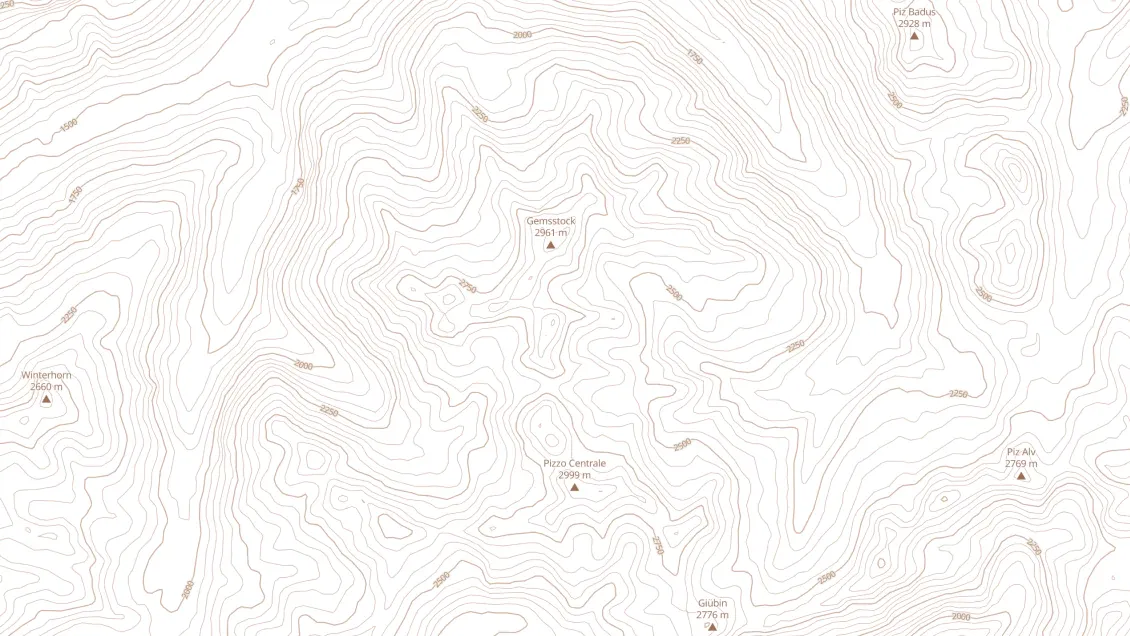
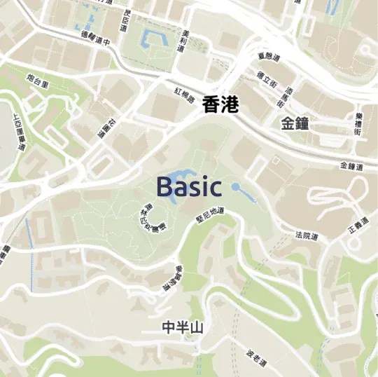
Ready to use base maps
Choose 3D, Topo, Topographique, Outdoor, or another map style with terrain data.


Hillshade
The hillshade layer contains shaded relief of mountains and adds 3D feel to your maps.
Suitable for outdoor, topographic, and hazard maps.
use via maps apiDownload data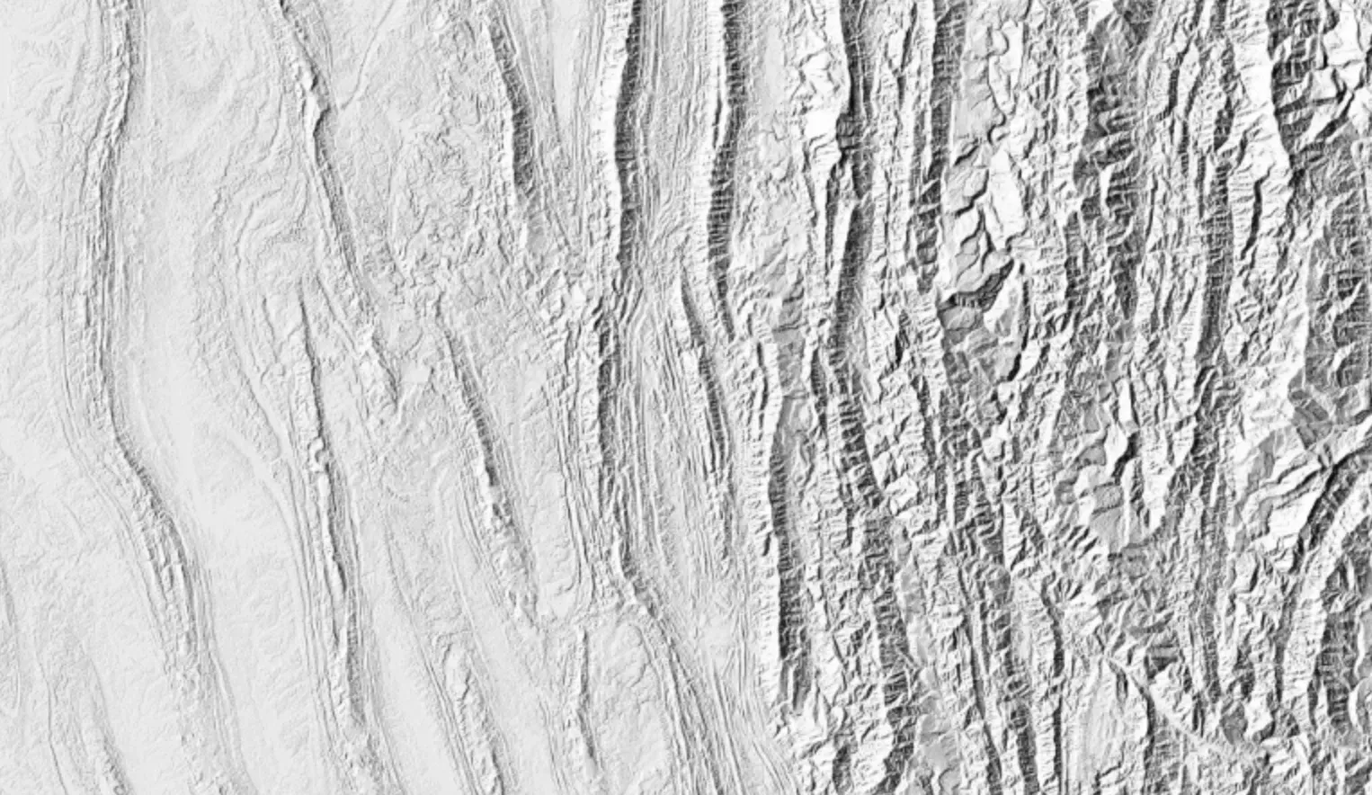
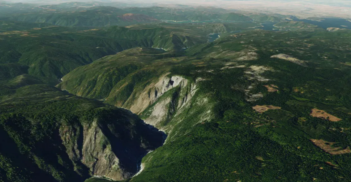
Terrain 3D - Cesium quantized mesh
Quantized-mesh terrain tileset for the popular CesiumJS library.
Create effective 3D visualizations by combining terrain data with high-resolution aerial imagery to create photorealistic landscapes. Terrain can be fused with any other map to add a 3D effect.
use via maps apiDownload data